搜索结果: 1-15 共查到“国际动态 Satellite”相关记录20条 . 查询时间(0.102 秒)

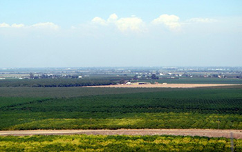
Researchers use satellite imaging to map groundwater use in California's Central Valley(图)
satellite imaging map groundwater California Central Valley
2020/10/16
Researchers at the University of California, San Diego report a new way to improve groundwater monitoring by using a remote sensing technology, known as InSAR (interferometric synthetic aper...

Satellite constellations harvest energy for near-total global coverage(图)
Satelliteconstellations harvest energy global coverage
2020/1/19
Think of it as a celestial parlor game: What is the minimum number of satellites needed to see every point on Earth? And how might those satellites stay in orbit and maintain 24/7 coverage while conte...
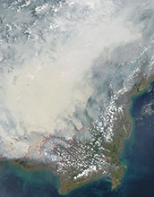
Satellite data can reveal fire susceptibility in peatlands(图)
Satellite data fire susceptibility peatlands
2019/10/18
When large areas of carbon-rich soil catch fire, the blaze emits massive amounts of carbon into the atmosphere and creates a thick haze. These blazes can usher in long-term climate impacts that affect...
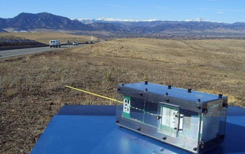
Six-Decade-Old Space Mystery Solved With Shoebox-Sized Satellite Called A CubeSat(图)
Six Decade Old Space Mystery Shoebox-Sized Satellite CubeSat
2017/12/19
A 60-year-old mystery about the source of energetic, potentially damaging particles in Earth's radiation belts has been solved using data from a shoebox-sized satellite built and operated by students....
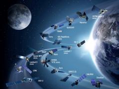
Harnessing rich satellite data to estimate crop yield(图)
Harnessing rich satellite data estimate crop yield
2017/9/5
Without advanced sensing technology, humans see only a small portion of the entire electromagnetic spectrum. Satellites see the full range—from high-energy gamma rays, to visible, infrared, and low-en...
How satellite data led to a breakthrough for Lake Erie toxic algal blooms
satellite data Lake Erie toxic algal blooms
2017/7/20
With the growing frequency and magnitude of toxic freshwater algal blooms becoming an increasingly worrisome public health concern, Carnegie scientists Jeff Ho and Anna Michalak, along with colleagues...
GOES-3 satellite decommissioned after linking Antarctica to the world for more than 20 years
GOES-3 satellite decommissioned linking Antarctica the world for more than 20 years
2016/8/1
The National Science Foundation (NSF) late last month decommissioned a 38-year-old communications satellite that for 21 years had helped to link NSF's Amundsen-Scott South Pole Station with the outsid...

A University of Queensland staff member is sending a satellite into space more powerful than the Curiosity Rover which recently landed on Mars.
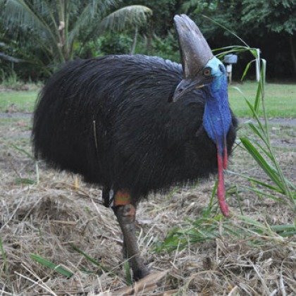
Wildlife researchers say they are making the cassowary conservation dollar go further by tracking the birds with satellite tags.
NASA and NOAA's GOES-P Satellite Successfully Launched
NASA and NOAA's GOES-P Satellite a Delta IV rocket
2010/4/29
The latest Geostationary Operational Environmental Satellite, or GOES-P, lifted off Thursday aboard a Delta IV rocket at 6:57 p.m. EST from Space Launch Complex 37 at the Cape Canaveral Air Force Stat...
Public Invited to Pick Pixels on Mars – Scientists Taking Suggestions on Where to Image the Red Planet Using NASA Satellite
Public Pixels Mars the Red Planet NASA Satellite
2010/1/26
The most powerful camera aboard a NASA spacecraft orbiting Mars will soon be taking photo suggestions from the public.
Since arriving at Mars in 2006, the High Resolution Imaging Science Experiment,...
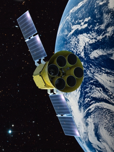
Team predicts satellite could locate hundreds of Earth-sized planets(图)
Team predicts satellite hundreds of Earth-sized planets
2010/1/15
The race to find exoplanets — planets outside our solar system — continues to quicken. Last week NASA researchers announced that the agency's new space telescope, Kepler, has discovered five new exopl...
Satellite reveals surprising cosmic ‘weather’ at edge of solar system
satellite cosmic‘weather’ solar system
2009/10/21
The first solar system energetic particle maps show an unexpected landmark occurring at the outer edge of the solar wind bubble surrounding the solar system. Scientists will publish these maps, based ...


