
搜索结果: 1-15 共查到“Terrestrial”相关记录394条 . 查询时间(0.092 秒)

南京农业大学农学院《IEEE Transactions on Geoscience and Remote Sensing》发表智慧农业团队“Quantify Wheat Canopy Leaf Angle Distribution Using Terrestrial Laser Scanning Data”(图)
智慧农业 智能解析 遗传育种
2024/6/11
作物表型高通量获取和智能解析为高效精准筛选优良种质资源提供技术支撑。2024年来,南京农业大学农学院智慧农业团队的作物表型监测组师生,利用地基激光雷达量化小麦冠层的叶角分布,取得了突破性进展。研究结果2024年4月4日以“Quantify Wheat Canopy Leaf Angle Distribution Using Terrestrial Laser Scanning Data”为题,发表...
Patterns and Internal Stability of Carbon, Nitrogen, and Phosphorus in Soils and Soil Microbial Biomass in Terrestrial Ecosystems in China: A Data Synthesis
spatial pattern C:N:P vegetation types nutrient limitation homeostasis
2023/12/11
Inspired by the strict constraint ratio (relatively low variability) between carbon (C), nitrogen (N), and phosphorus (P) in global soils and soil microbial biomass, our study explores the biogeograph...
Assessment of Drought Impact on Net Primary Productivity in the Terrestrial Ecosystems of Mongolia from 2003 to 2018
terrestrial ecosystem NDVI BEPS NPP drought vegetation response
2023/12/8
Drought has devastating impacts on agriculture and other ecosystems, and its occurrence is expected to increase in the future. However, its spatiotemporal impacts on net primary productivity (NPP) in ...
Voxel-Based Automatic Tree Detection and Parameter Retrieval from Terrestrial Laser Scans for Plot-Wise Forest Inventory
remote sensing forest inventory terrestrial laser scanning point cloud processing automatic tree extraction stem curve tree height TLS benchmarking
2023/12/6
This paper presents a fully automatic method addressing tree mapping and parameter extraction (tree position, stem diameter at breast height, stem curve, and tree height) from terrestrial laser scans ...
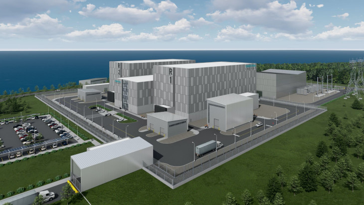
The Canadian Nuclear Safety Commission (CNSC) has completed Phase 2 of the vendor design review (VDR) of Terrestrial Energy's Integral Molten Salt Reactor (IMSR). The regulator said that no fundamenta...
Climate regulation changed with the proliferation of marine animals and terrestrial plants
Climate regulation carbon-silicon cycle temperature
2021/8/3
Earth's climate was relatively stable for a long period of time. For three billion years, temperatures were mostly warm and carbon dioxide levels high - until a shift occurred about 400 million years ...
THE SUITABILITY OF TERRESTRIAL LASER SCANNING FOR BUILDING SURVEY AND MAPPING APPLICATIONS
Terrestrial Laser Scanning Handheld Mobile Laser Scanning Building Survey Mapping
2019/3/4
The popularity of Terrestrial Laser Scanner (TLS) has been introduced into a field of surveying and has increased dramatically especially in producing the 3D model of the building. The used of terrest...
COMPARISON WITH ACCURACY OF TERRESTRIAL LASER SCANNER BY USING POINT CLOUD ALIGNED WITH SHAPE MATCHING AND BEST FITTING METHODS
laser scanning time of flight phase shift shape matching natural distributions Ostia
2019/3/4
Recently operation systems of laser scanning have been obviously improved; for instance shape matching has been equipped with software on a post processing stage so measurement without any targets is ...
QUALITY FEATURES FOR THE INTEGRATION OF TERRESTRIAL AND UAV IMAGES
photogrammetry data fusion terrestrial images UAV
2019/3/1
The paper presents an innovative approach for improving the orientation results when terrestrial and UAV images are jointly processed. With the existing approaches, the processing of images coming fro...
TERRESTRIAL LASER SCANNER AND FAST CHARACTERIZATION OF SUPERFICIAL LESIONS IN ARCHITECTURAL DIAGNOSIS
errestrial laser scanner pathology defensive towers masonry Camarles Tower
2019/3/1
The development of massive data captures techniques (MDC) in recent years, such as the Terrestrial Laser Scanner (TLS), raises the possibility of developing new assessment procedures for architectural...
THE SUITABILITY OF TERRESTRIAL LASER SCANNING FOR STRATA BUILDING
Terrestrial Laser Scanning Strata building
2018/11/8
During the recent years, the used of terrestrial laser scanning (TLS) is becoming rapidly popular because of its ability in several applications, especially the ability to observe complex documentatio...
EVALUATING THE PERFORMANCE OF TERRESTRIAL LASER SCANNING FOR LANDSLIDE MONITORING
landslide monitoring terrestrial laser scanning scanning resolutions geodetic method deviation maps
2018/11/8
Nowadays, Terrestrial Laser Scanning (TLS) technology is gaining popularity in monitoring and predicting the movement of landslide due to the capability of high-speed data capture without requiring a ...
A SLIDING WINDOW METHOD FOR DETECTING CORNERS OF OPENINGS FROM TERRESTRIAL LIDAR DATA
Sliding Window Corners Detection Openings Detection LiDAR Point Clouds LoD3 Modelling
2018/11/9
Architectural building models (LoD3) consist of detailed wall and roof structures including openings, such as doors and windows. Openings are usually identified through corner and edge detection, base...
THE ONE TO MULTIPLE AUTOMATIC HIGH ACCURACY REGISTRATION OF TERRESTRIAL LIDAR AND OPTICAL IMAGES
Ground Lidar Optical Image Automatic High Precision Registration
2018/5/15
The registration of ground laser point cloud and close-range image is the key content of high-precision 3D reconstruction of cultural relic object. In view of the requirement of high texture resolutio...
THE IMPACTS OF TYPICAL DROUGHT EVENTS ON TERRESTRIAL VEGETATION IN CHINA
vegetation type drought event SPEI the North China the Southwest China
2018/5/16
In our study, according to the statistical results of standardized precipitation evapotranspiration index (SPEI), we chose two drought events which occurred in the North China during 2001 and in the S...